Monitoring
Deformation and level lines
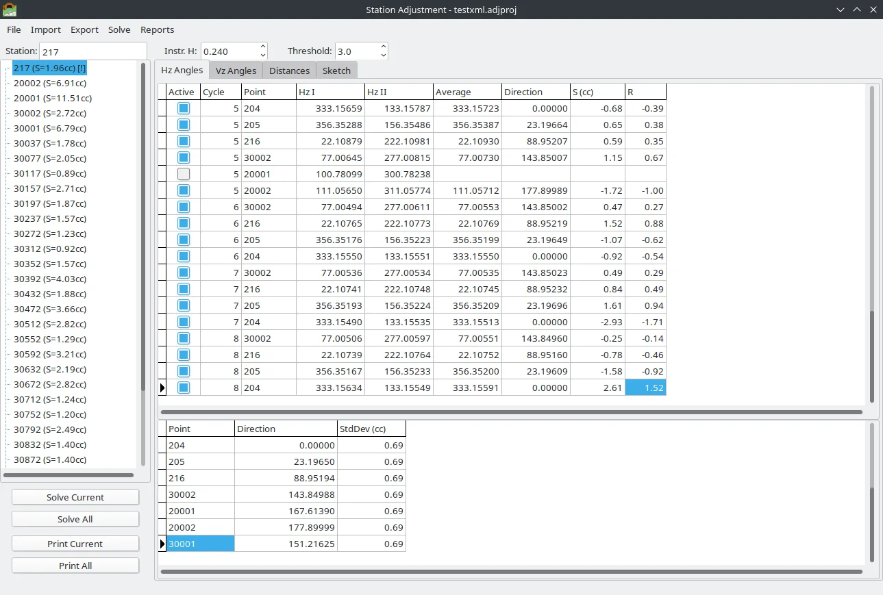
A special monitoring adjustment for sets of readings, and a geometric leveling adjustment with closure checks.
Leveling
Trimble DiNi to Excel
M5 .DAT files, single-line or dual-line, with a closure tolerance for Precise, Engineering or Rough work.
Field files
GSI, RW5 and CSV
Open a Leica GSI file as a grid, edit a value, and write GSI8, GSI16, Excel or CSV. RW5 and CSV have their own editors.
Coordinates
Helmert, affine, polynomial
Compute a 2D or 3D transformation from points known in both systems, review the residuals, then transform the rest of the file.
GNSS
Static baselines
Plan sessions, solve baselines, and publish the result onward to the network adjustment. The Windows build ships iqrtk.dll.
Drone
DJI PPK and flight logs
Camera positions from a Matrice against a static base, in EGSA87 with an orthometric height, plus a flight log beside the on-board RTK.
Greek grids
HEPOS and EGM2008
HEPOS to EGSA87 with the 7-parameter shift, the 2 km grid and the HEPOS geoid. EGM2008 for Greece is in the data folder.
Point clouds
Sections for TunnelCAD
A section utility for a TunnelCAD survey, and a fixer for a Greek Ktimatologio JSON file.
Reports
PDF, text and Excel
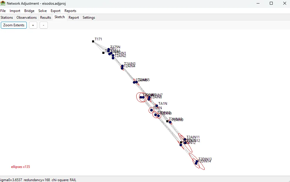
Station and network reports list the settings of the run, so the numbers can be repeated from the report alone.